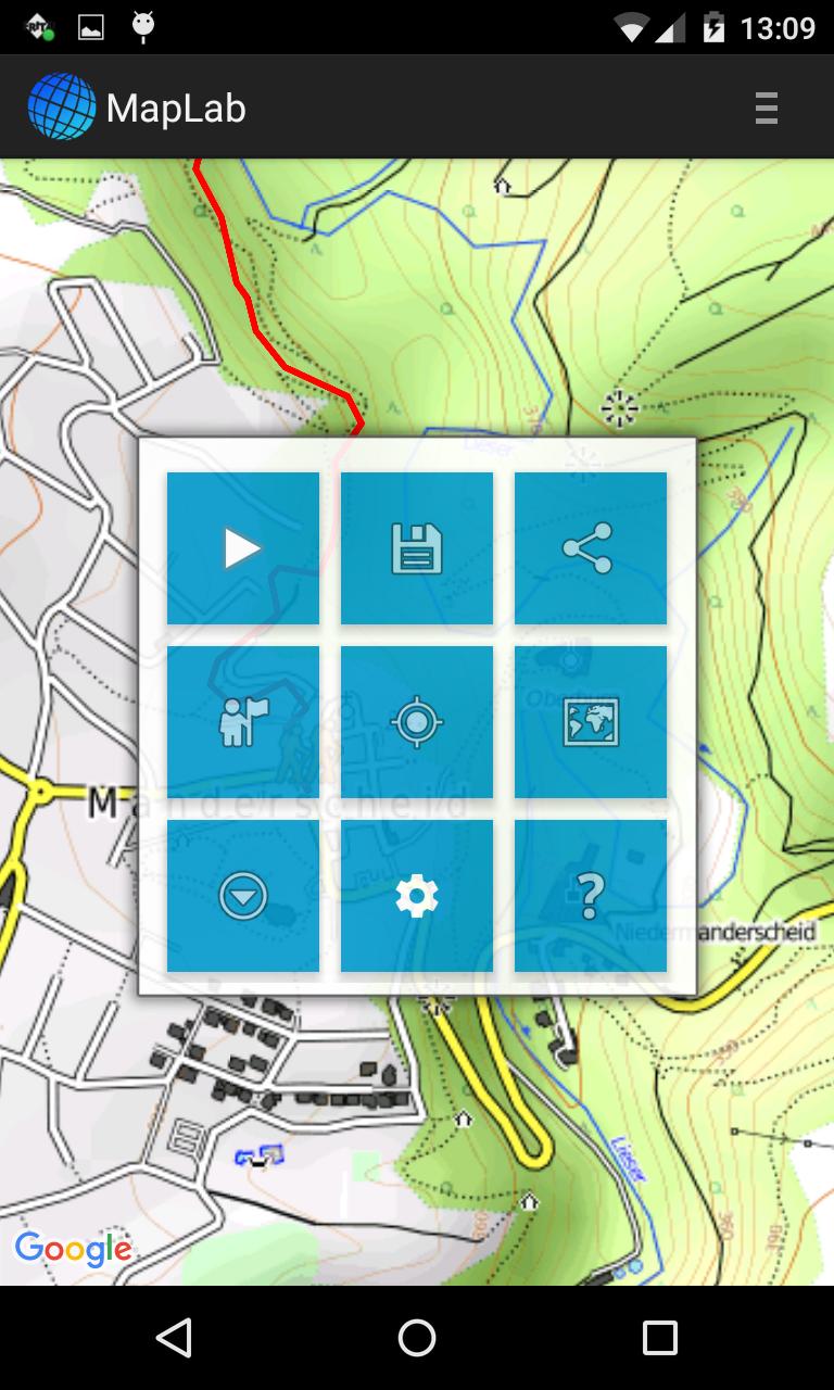
Navi with topographic maps for hiking, biking and mushrooming.
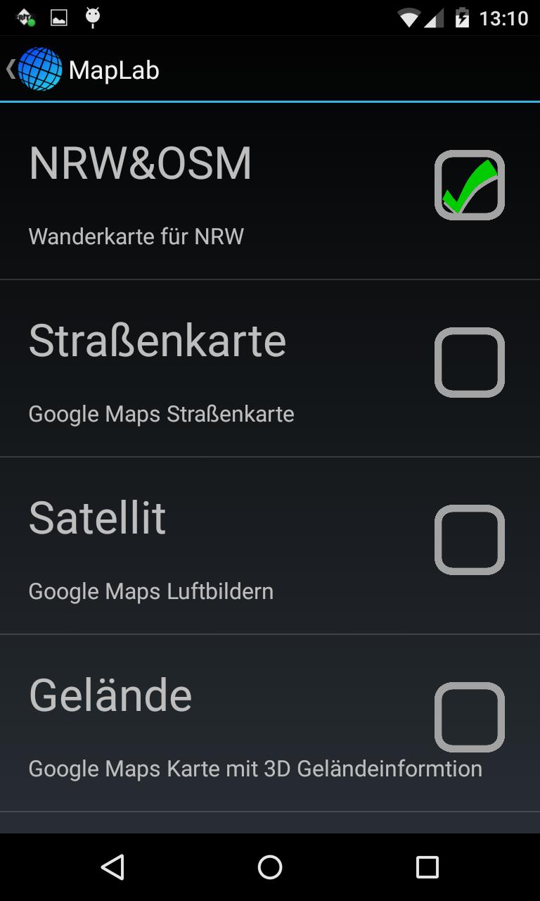
GPS Tracker and Navigation with Google or Cusom Type (OSM) Maps with offline & offroad maps.
Routing
Searching for destinations and creating routes, optionally with voice input, for pedestrians, cyclists or motorists as well as bus / train with information on navigation.
Tracking Mode
The app can transmit over the Internet the current position to any computer. Displays and route may e.g. with the Windows software Gis.Lab from ATLsoft.
Fleet management
Many MapLab clients can transmit and communicate the position data to a central server. This is also possible with a computer at
Read more